The various levels are reasonably easy to find once you know where they are. I have attached the early drawings, and the 1970's map which shows the levels in relation to today's 4WD road. and you can link back to the Map I created using the GPS to record where things are.
We still need to find levels 1,5,6 and 7


Here are some pictures of the mines .
Many of them are not very good and need to be replaced.
We have not yet found level 1 but we did find the open cut which this DOC document referred to as fig 3 the number one drive in the cut on the saddle between Endeavour Inlet and Port Gore
This is the picture the Doc refers to as the number one drive??

The Open cut near the saddle


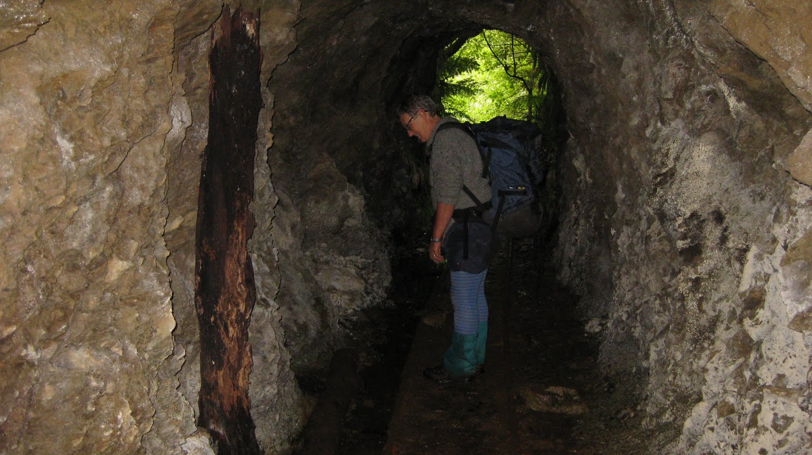

We wondered if this was the tunnel that went right through the hill. If you look at the first two drawings on this page it does look like it. Also it seemed very long and we didn't reach the end.
It had a branch off to the left not far in side. (the general view is that it was number one that went through ??)
Adit Three
This is the only photo I took ..not very helpful!

Adit Four


One of the older pictures of a mine entrance but not sure of date or which mine
